Tour Annapurna - Jour 07 - Manang - Manang
Interactive map
GPS track profile
About this GPS track
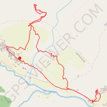
Name: Tour Annapurna - Jour 07 - Manang - Manang GPS track, route, trail
Coordinates: 28.65678 84.02263 28.67431 84.04176
Other GPS tracks
Click on a GPS track to view route, its statistics and profile.
Annapurna - Example
Népal > Gandaki > मनाङ > Dharapani
Distance: 104.2 mi • Elevation gain: 40,039 ft • Maximum elevation: 19,751 ft