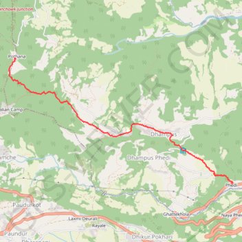
Tour Annapurna - Jour 18 - Pothana - Phedi
Randonnée entre Dhampus et Dhital. #Randonnée
- Distance: 4.0 mi
- Elevation gain: 141 ft
- Maximum elevation: 6,588 ft
- Elevation loss: 2,904 ft
- Minimum elevation: 3,822 ft
- Moving time: 1 h 43 m
- Moving speed: 2.3 mph
- Maximum speed: 4.0 mph
- Total time: 2 h 28 m
- Global speed: 1.6 mph
- Date: 04/16/2014
Interactive map
GPS track profile
About this GPS track
Name: Tour Annapurna - Jour 18 - Pothana - Phedi GPS track, route, trail
Coordinates: 28.29183 83.82900 28.31307 83.87203
Other GPS tracks
Click on a GPS track to view route, its statistics and profile.