Aux sources de la Kwé Binyi
Interactive map
GPS track profile
About this GPS track
Name: Aux sources de la Kwé Binyi GPS track, route, trail
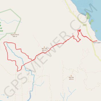
Start: Saint Gabriel, Yaté, Province Sud, Nouvelle-Calédonie, 98834, France (-22.21339 166.99438)
End: Saint Gabriel, Yaté, Province Sud, Nouvelle-Calédonie, 98834, France (-22.21337 166.99432)
Coordinates: -22.22966 166.94111 -22.20738 166.99438