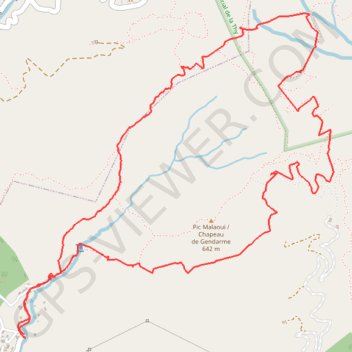
Import a GPX file

Tour du Malaoui

Randonnée pédestre. En boucle. #Randonnée #Boucle

  • Distance: 6.5 mi
  • Elevation gain: 2,838 ft
  • Maximum elevation: 2,329 ft
  • Elevation loss: 2,831 ft
  • Minimum elevation: 236 ft

Interactive map

GPS track profile

About this GPS track

Other GPS tracks

Click on a GPS track to view route, its statistics and profile.

Pic malaoui avec raccourci

France > Province Sud > Mont Dore

Randonnée pédestre. En boucle. #Randonnée #Boucle

Distance: 4.3 mi • Elevation gain: 2,188 ft • Maximum elevation: 2,290 ft