Import a GPX file

Mount Murchison Track

Mount Murchison Regional Reserve. #Hike #Loop #Murchison

  • Distance: 4.2 mi
  • Elevation gain: 2,405 ft
  • Maximum elevation: 4,078 ft
  • Elevation loss: 2,402 ft
  • Minimum elevation: 1,831 ft
  • Moving time: 2 h 42 m
  • Moving speed: 1.6 mph
  • Maximum speed: 4.5 mph
  • Total time: 4 h 54 m
  • Global speed: 0.9 mph
  • Date: 01/11/2020

Interactive map

GPS track profile

About this GPS track

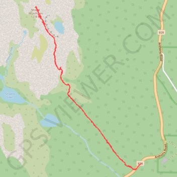
Name: Mount Murchison Track GPS track, route, trail

Start: Anthony Road, Tullah, West Coast, Tasmania, Australia (-41.82650 145.63382)

End: Anthony Road, Tullah, West Coast, Tasmania, Australia (-41.82657 145.63372)

Coordinates: -41.82730 145.61797 -41.80893 145.63382