Import a GPX file

Yaberoo Budjara Trail

Neerabup National Park. #Hike #MTB #Neerabup

  • Distance: 9.1 mi
  • Elevation gain: 502 ft
  • Maximum elevation: 226 ft
  • Elevation loss: 502 ft
  • Minimum elevation: 62 ft

Interactive map

GPS track profile

About this GPS track
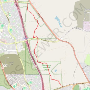
Other GPS tracks

Click on a GPS track to view route, its statistics and profile.

Perth along the coast

Australia > Western Australia > City of Perth > Perth

#Bike #Loop #Perth

Distance: 90.4 mi • Elevation gain: 3,963 ft • Maximum elevation: 200 ft