Import a GPX file

Royal Botanic Gardens Cranbourne Loop

#Hike #Loop

  • Distance: 4.3 mi
  • Elevation gain: 187 ft
  • Maximum elevation: 292 ft
  • Elevation loss: 187 ft
  • Minimum elevation: 194 ft
  • Moving time: 1 h 41 m
  • Moving speed: 2.6 mph
  • Maximum speed: 4.3 mph
  • Total time: 2 h 7 m
  • Global speed: 2.0 mph
  • Date: 01/17/2020

Interactive map

GPS track profile

About this GPS track
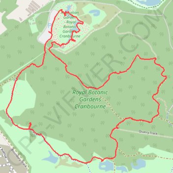
Other GPS tracks

Click on a GPS track to view route, its statistics and profile.

Melbourne - Philip Island

Australia > Victoria > Melbourne

#Bike #Melbourne #Philip

Distance: 62.7 mi • Elevation gain: 1,939 ft • Maximum elevation: 518 ft