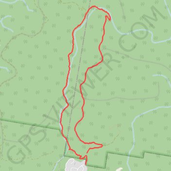
Blue Gum Swamp Track - Shaws Ridge Trail Trail
Blue Mountains National Park. #Hike #Loop #BlueMountains
- Distance: 5.4 mi
- Elevation gain: 489 ft
- Maximum elevation: 1,030 ft
- Elevation loss: 440 ft
- Minimum elevation: 751 ft
- Moving time: 1 h 1 m
- Moving speed: 5.3 mph
- Maximum speed: 9.0 mph
- Total time: 1 h 1 m
- Global speed: 5.3 mph
- Date: 01/18/2020
Interactive map
GPS track profile
About this GPS track
Name: Blue Gum Swamp Track - Shaws Ridge Trail Trail GPS track, route, trail
Coordinates: -33.66435 150.60541 -33.63456 150.61664
Other GPS tracks
Click on a GPS track to view route, its statistics and profile.
Perth to Sydney
Australie > Australie occidentale > City of Belmont
Distance: 2,362.0 mi • Elevation gain: 47,762 ft • Maximum elevation: 3,802 ft