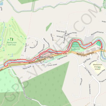
Warburton - Yarra River Walk
Interactive map
GPS track profile
About this GPS track
Name: Warburton - Yarra River Walk GPS track, route, trail
Coordinates: -37.75535 145.67906 -37.75050 145.70148
Other GPS tracks
Click on a GPS track to view route, its statistics and profile.
Lilydale - Warburton Rail Trail
Australia > Victoria > Melbourne
#MTB
Distance: 23.7 mi • Elevation gain: 1,483 ft • Maximum elevation: 758 ft
Tallarook - Eildon - Hurstbridge
Australia > Victoria > Tallarook
#Bike
Distance: 173.2 mi • Elevation gain: 16,066 ft • Maximum elevation: 2,848 ft