Port Macquarie Coastal Walk
Interactive map
GPS track profile
About this GPS track
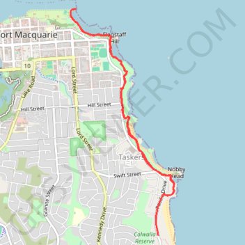
Name: Port Macquarie Coastal Walk GPS track, route, trail
Coordinates: -31.45558 152.91691 -31.42681 152.93238
Name: Port Macquarie Coastal Walk GPS track, route, trail
Coordinates: -31.45558 152.91691 -31.42681 152.93238