Heathcote National Park
Interactive map
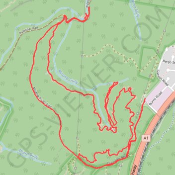
GPS track profile
About this GPS track
Name: Heathcote National Park GPS track, route, trail
Coordinates: -34.10315 150.98337 -34.08925 150.99532
Other GPS tracks
Click on a GPS track to view route, its statistics and profile.