Import a GPX file

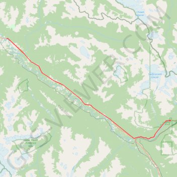
McBride - Mount Robson Provincial Park

#Bike #McBride #Robson

  • Distance: 48.3 mi
  • Elevation gain: 2,644 ft
  • Maximum elevation: 2,943 ft
  • Elevation loss: 2,260 ft
  • Minimum elevation: 2,339 ft

Interactive map

GPS track profile

About this GPS track

Other GPS tracks

Click on a GPS track to view route, its statistics and profile.

Mount Robson Provincial Park - Jasper

Canada > British Columbia > Regional District of Fraser-Fort George > Area H (Robson Valley/Canoe)

#Bike #Robson #Jasper

Distance: 57.3 mi • Elevation gain: 3,314 ft • Maximum elevation: 3,845 ft