Import a GPX file

Smithers - Houston

#Bike #Smithers #Houston

  • Distance: 40.8 mi
  • Elevation gain: 2,106 ft
  • Maximum elevation: 2,762 ft
  • Elevation loss: 1,598 ft
  • Minimum elevation: 1,545 ft

Interactive map

GPS track profile

About this GPS track
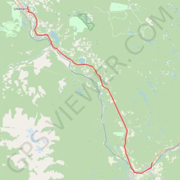
Other GPS tracks

Click on a GPS track to view route, its statistics and profile.

Houston - Burns Lake

Canada > British Columbia > Regional District of Bulkley-Nechako > Houston

#Bike #Houston #Burns

Distance: 49.5 mi • Elevation gain: 2,493 ft • Maximum elevation: 2,881 ft