Import a GPX file

Margaret River Loop

Bramley National Park. #MTB #Loop #Bramley

  • Distance: 11.4 mi
  • Elevation gain: 906 ft
  • Maximum elevation: 364 ft
  • Elevation loss: 906 ft
  • Minimum elevation: 200 ft

Interactive map

GPS track profile

About this GPS track
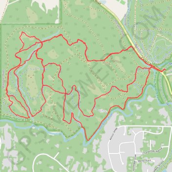
Other GPS tracks

Click on a GPS track to view route, its statistics and profile.

Chimney Trail - High Horse - Big Pine

Australia > Western Australia

Bramley National Park. #Hike #MTB #Loop #Bramley

Distance: 5.5 mi • Elevation gain: 699 ft • Maximum elevation: 394 ft