Jellore State Forest Loop
Interactive map
GPS track profile
About this GPS track
Name: Jellore State Forest Loop GPS track, route, trail
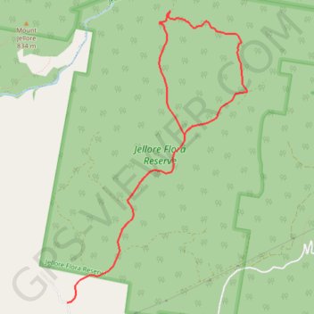
Start: Mount Jellore Lane, Wingecarribee Shire Council, New South Wales, Australia (-34.39971 150.37581)
End: Mount Jellore Lane, Wingecarribee Shire Council, New South Wales, Australia (-34.39971 150.37581)
Coordinates: -34.39971 150.37581 -34.36830 150.39935
Other GPS tracks
Click on a GPS track to view route, its statistics and profile.