Stromlo Forest Loop
Interactive map
GPS track profile
About this GPS track
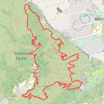
Name: Stromlo Forest Loop GPS track, route, trail
Start: Wattle Happen, Canberra, Australian Capital Territory, 2611, Australia (-35.32018 149.02427)
End: Wattle Happen, Canberra, Australian Capital Territory, 2611, Australia (-35.32018 149.02427)
Coordinates: -35.32446 149.00614 -35.30071 149.02433
Other GPS tracks
Click on a GPS track to view route, its statistics and profile.
Cloudride24.FINAL
Distance: 639.3 mi • Elevation gain: 69,823 ft • Maximum elevation: 5,755 ft