Christina Lake - Castlegar
Interactive map
GPS track profile
About this GPS track
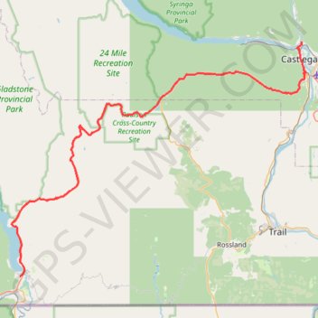
Name: Christina Lake - Castlegar GPS track, route, trail
Coordinates: 49.03747 -118.23003 49.33807 -117.65364
Other GPS tracks
Click on a GPS track to view route, its statistics and profile.
Départ - Alberta
Canada > Colombie-Britannique > District régional du Grand Vancouver > Vancouver
Distance: 1,613.6 mi • Elevation gain: 56,955 ft • Maximum elevation: 6,699 ft
Castlegar - Crawford Bay
Canada > British Columbia > Regional District of Central Kootenay > Area J (Lower Arrow/Columbia) > Raspberry
Kootenay River. #Bike
Distance: 56.6 mi • Elevation gain: 3,917 ft • Maximum elevation: 2,277 ft