#Bike #Russell #Shoal
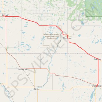
Name: Russell - Shoal Lake GPS track, route, trail
Start: Lawrence Street West, Municipality of Russell – Binscarth, Division No. 16, Manitoba, R0J 1W0, Canada (50.77698 -101.29058)
End: Snoman Trail, Rural Municipality of Yellowhead, Division No. 15, Manitoba, R0J 1Z0, Canada (50.43394 -100.59346)
Coordinates: 50.43353 -101.29228 50.77698 -100.57696
Click on a GPS track to view route, its statistics and profile.
Canada > Saskatchewan > Division No. 9 > Yorkton
#Bike #Yorkton #Russell
Distance: 65.3 mi • Elevation gain: 771 ft • Maximum elevation: 1,854 ft
Canada > Manitoba > Division No. 15 > Rural Municipality of Yellowhead
#Bike #Shoal #Neepawa
Distance: 60.0 mi • Elevation gain: 666 ft • Maximum elevation: 1,998 ft