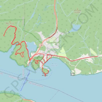
Tadoussac
Saint Lawrence River. #Hike #Loop #SaintLawrence
- Distance: 11.0 mi
- Elevation gain: 2,523 ft
- Maximum elevation: 965 ft
- Elevation loss: 2,326 ft
- Minimum elevation: 0 ft
Interactive map
GPS track profile
About this GPS track
Name: Tadoussac GPS track, route, trail
Coordinates: 48.13503 -69.74070 48.15479 -69.68544