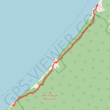
Cape Breton Island - Pollets Cove
Gulf of Saint Lawrence. #Hike #CapeBreton #SaintLawrence #Atlantic
- Distance: 8.6 mi
- Elevation gain: 2,874 ft
- Maximum elevation: 699 ft
- Elevation loss: 2,871 ft
- Minimum elevation: 0 ft
Interactive map
GPS track profile
About this GPS track
Name: Cape Breton Island - Pollets Cove GPS track, route, trail
Coordinates: 46.87289 -60.74307 46.91432 -60.69208