Miles Canyon Loop
Interactive map
GPS track profile
About this GPS track
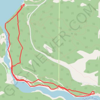
Name: Miles Canyon Loop GPS track, route, trail
Start: Chadburn Lake Road, Whitehorse, Yukon, Y1A 4M2, Canada (60.67264 -135.02425)
End: Chadburn Lake Road, Whitehorse, Yukon, Y1A 4M2, Canada (60.67252 -135.02418)
Coordinates: 60.65775 -135.03051 60.67264 -135.00120