McCrae Lake
Interactive map
GPS track profile
About this GPS track
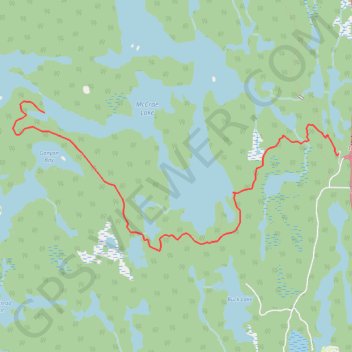
Name: McCrae Lake GPS track, route, trail
Coordinates: 44.91150 -79.82670 44.92750 -79.77735
Other GPS tracks
Click on a GPS track to view route, its statistics and profile.
Name: McCrae Lake GPS track, route, trail
Coordinates: 44.91150 -79.82670 44.92750 -79.77735
Click on a GPS track to view route, its statistics and profile.