Delicate Arch
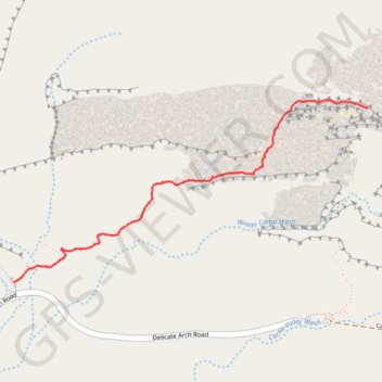
Interactive map
GPS track profile
About this GPS track
Name: Delicate Arch GPS track, route, trail
Start: Delicate Arch Trail, Grand County, Utah, United States (38.73566 -109.52051)
End: Delicate Arch Trail, Grand County, Utah, United States (38.73566 -109.52051)
Coordinates: 38.73566 -109.52051 38.74427 -109.49908
Topography: Grand County topographic map
Other GPS tracks
Click on a GPS track to view route, its statistics and profile.