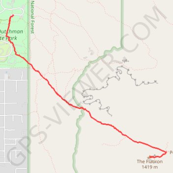
The Flatiron from Lost Dutchman State Park
Interactive map
GPS track profile
About this GPS track
Name: The Flatiron from Lost Dutchman State Park GPS track, route, trail
Start: Treasure Loop #56, Pinal County, Arizona, United States (33.45959 -111.47964)
End: Treasure Loop #56, Pinal County, Arizona, United States (33.45959 -111.47964)
Coordinates: 33.43757 -111.48079 33.45959 -111.45119
Topography: Pinal County topographic map
Other GPS tracks
Click on a GPS track to view route, its statistics and profile.