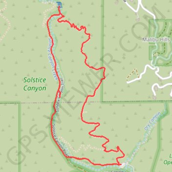
Solstice Canyon Loop
Interactive map
GPS track profile
About this GPS track
Name: Solstice Canyon Loop GPS track, route, trail
Start: TRW Loop Trail, Malibu, Los Angeles County, California, 90265, United States (34.03780 -118.74750)
End: TRW Loop Trail, Malibu, Los Angeles County, California, 90265, United States (34.03780 -118.74750)
Coordinates: 34.03772 -118.75440 34.05004 -118.74721
Topography: Los Angeles County topographic map
Other GPS tracks
Click on a GPS track to view route, its statistics and profile.