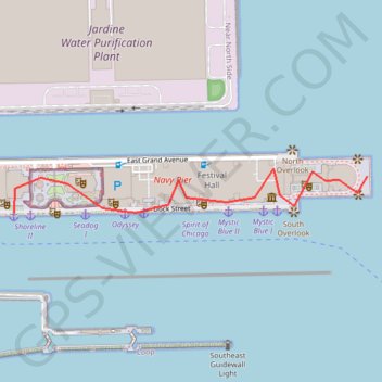
Chicago Pier
- Distance: 0.7 mi
- Elevation gain: 56 ft
- Maximum elevation: 607 ft
- Elevation loss: 49 ft
- Minimum elevation: 577 ft
Interactive map
GPS track profile
About this GPS track
Name: Chicago Pier GPS track, route, trail
Coordinates: 41.89109 -87.60860 41.89201 -87.59864
Topography: Chicago topographic map