양촌_천변 주차_양촌휴양림_덕목재_물한제_벌곡_43km1499m
Created/Modified by using GPS Route Editor.
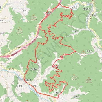
- Distance: 27.1 mi
- Elevation gain: 6,870 ft
- Maximum elevation: 1,070 ft
- Elevation loss: 6,870 ft
- Minimum elevation: 164 ft
Interactive map
GPS track profile
About this GPS track
Name: 양촌_천변 주차_양촌휴양림_덕목재_물한제_벌곡_43km1499m GPS track, route, trail
Start: Hwangsanbeol-ro, Incheon-ri, Nonsan-si, South Chungcheong, 33023, South Korea (36.13921 127.23513)
End: Yangchon-myeon, Nonsan-si, South Chungcheong, 33023, South Korea (36.13823 127.23602)
Coordinates: 36.12872 127.23150 36.19718 127.28004
Topography: Nonsan-si topographic map