Bird Pond by Pepin and McBurnie Trails
Interactive map
GPS track profile
About this GPS track
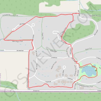
Name: Bird Pond by Pepin and McBurnie Trails GPS track, route, trail
Coordinates: 49.00248 -122.67935 49.00928 -122.66632
Other GPS tracks
Click on a GPS track to view route, its statistics and profile.
Départ - Alberta
Canada > Colombie-Britannique > District régional du Grand Vancouver > Vancouver
Distance: 1,613.6 mi • Elevation gain: 56,955 ft • Maximum elevation: 6,699 ft