Yates Mountain
Interactive map
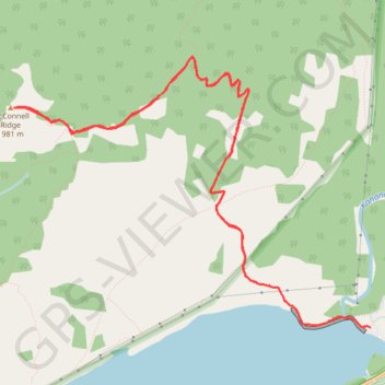
GPS track profile
About this GPS track
Name: Yates Mountain GPS track, route, trail
Start: Barrier Lake Road, Division No. 15, Alberta, Canada (51.03246 -115.03904)
End: Barrier Lake Road, Division No. 15, Alberta, Canada (51.03246 -115.03904)
Coordinates: 51.03246 -115.07956 51.05178 -115.03904