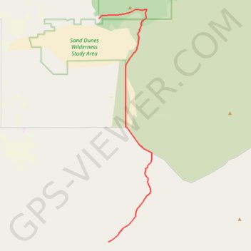
Bend to Alvord Section 2 - Christmas Valley to A6 Intruder Route
- Distance: 24.6 mi
- Elevation gain: 801 ft
- Maximum elevation: 4,692 ft
- Elevation loss: 410 ft
- Minimum elevation: 4,301 ft
Interactive map
GPS track profile
About this GPS track
Name: Bend to Alvord Section 2 - Christmas Valley to A6 Intruder Route GPS track, route, trail
Start: Lake County, Oregon, 97736, United States (43.35580 -120.37527)
End: Lake County, Oregon, United States (43.11250 -120.36093)
Coordinates: 43.11250 -120.37527 43.36576 -120.29614
Topography: Lake County topographic map
Other GPS tracks
Click on a GPS track to view route, its statistics and profile.
Bend to Alvord Section 1 - Bend to Christmas Valley Sand Dunes
United States > Oregon > Deschutes County > Bend
Distance: 98.6 mi • Elevation gain: 2,910 ft • Maximum elevation: 5,115 ft