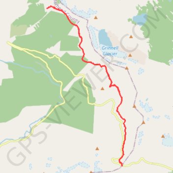
Granite Park Chalet from Logan Pass via Haystack Pass
Interactive map
GPS track profile
About this GPS track
Name: Granite Park Chalet from Logan Pass via Haystack Pass GPS track, route, trail
Start: Going-to-the-Sun Road, Glacier County, Montana, United States (48.69603 -113.71782)
End: Going-to-the-Sun Road, Glacier County, Montana, United States (48.69603 -113.71782)
Coordinates: 48.69603 -113.77210 48.77193 -113.71538
Topography: Glacier County topographic map
Other GPS tracks
Click on a GPS track to view route, its statistics and profile.