Mount Elbert
Interactive map
GPS track profile
About this GPS track
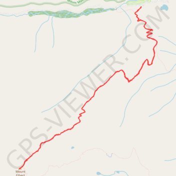
Name: Mount Elbert GPS track, route, trail
Coordinates: 39.11766 -106.44545 39.15180 -106.40808
Topography: Lake County topographic map
Other GPS tracks
Click on a GPS track to view route, its statistics and profile.
Continental Divide Trail (CDT)
United States > Colorado > Lake County
Hike on the Continental Divide National Scenic Trail between Halfmoon Creek and Copper Mountain through Mount Massive Wilderness, Holy Cross Wilderness, White River National Forest and Continental Divide National Monument in the Rocky Mountains. #Hike #CDT #Mountain #Nature #River
Distance: 49.0 mi • Elevation gain: 9,209 ft • Maximum elevation: 12,277 ft