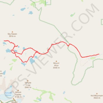
Big Pine Lakes Loop
Interactive map
GPS track profile
About this GPS track
Name: Big Pine Lakes Loop GPS track, route, trail
Coordinates: 37.12257 -118.51253 37.13795 -118.42769
Topography: Inyo County topographic map
Other GPS tracks
Click on a GPS track to view route, its statistics and profile.
JMT1-16847633
États-Unis d'Amérique > Californie > Inyo County
Distance: 249.4 mi • Elevation gain: 49,836 ft • Maximum elevation: 14,386 ft