Import a GPX file

Mount Baden Powell

Angeles National Forest. #Hike #Mountain #Forest #Nature

  • Distance: 7.9 mi
  • Elevation gain: 2,854 ft
  • Maximum elevation: 9,367 ft
  • Elevation loss: 2,854 ft
  • Minimum elevation: 6,608 ft

Interactive map

GPS track profile

About this GPS track
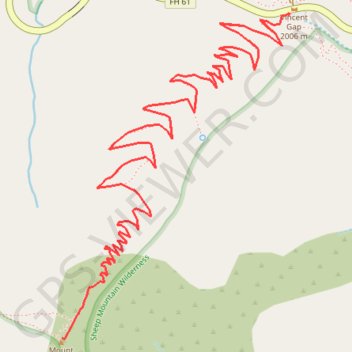
Other GPS tracks

Click on a GPS track to view route, its statistics and profile.

Mount Baden-Powell

United States > California > Los Angeles County

Hike from Vincent Gap to Mount Baden-Powell via the Pacific Crest Trail (PCT) in the San Gabriel Mountains National Monument and the Angeles National Forest. #Hike #Mountain #Nature #Forest #Angeles

Distance: 3.9 mi • Elevation gain: 2,812 ft • Maximum elevation: 9,373 ft

Big Horn Mine

United States > California > Los Angeles County

Hike from Vincent Gap to the Big Horn Abandoned Mine in the Sheep Mountain Wilderness and the Angeles National Forest. #Hike #Mountain #Nature #Forest #Angeles

Distance: 1.9 mi • Elevation gain: 735 ft • Maximum elevation: 6,923 ft