Taggart Lake Loop
Interactive map
GPS track profile
About this GPS track
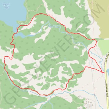
Name: Taggart Lake Loop GPS track, route, trail
Coordinates: 43.68949 -110.75511 43.70285 -110.73240
Topography: Teton County topographic map
Name: Taggart Lake Loop GPS track, route, trail
Coordinates: 43.68949 -110.75511 43.70285 -110.73240
Topography: Teton County topographic map