Red Pine Lake
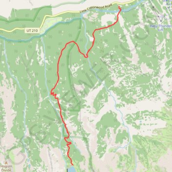
Interactive map
GPS track profile
About this GPS track
Name: Red Pine Lake GPS track, route, trail
Start: White Pine Trail, Salt Lake County, Utah, 84138, United States (40.57537 -111.68126)
End: White Pine Trail, Salt Lake County, Utah, 84138, United States (40.57538 -111.68122)
Coordinates: 40.54464 -111.69849 40.57538 -111.68078
Topography: Salt Lake County topographic map
Other GPS tracks
Click on a GPS track to view route, its statistics and profile.