GPS tracks, routes, trails, hikes

GPS tracks visualization and sharing, free and without registration.

Import a GPX file

White Oak Falls and Cedar Run Falls Loop

Shenandoah National Park. White Oak Canyon. #Hike #Loop #Waterfall #River #Mountain #Forest #Nature

  • Distance: 8.8 mi
  • Elevation gain: 2,382 ft
  • Maximum elevation: 3,350 ft
  • Elevation loss: 2,382 ft
  • Minimum elevation: 1,125 ft

Interactive map

GPS track profile

About this GPS track

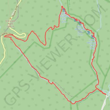
Name: White Oak Falls and Cedar Run Falls Loop GPS track, route, trail.
Start: Whiteoak Boundary Parking, Weakley Hollow Road, Madison County, Virginia, 22743, United States (38.53906 -78.34808)
End: Whiteoak Boundary Parking, Weakley Hollow Road, Madison County, Virginia, 22743, United States (38.53907 -78.34812)
Coordinates: 38.53633 -78.38588 38.56477 -78.34808