Bell Canyon Falls
Interactive map
GPS track profile
About this GPS track
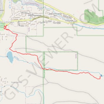
Name: Bell Canyon Falls GPS track, route, trail
Coordinates: 40.56034 -111.79737 40.57178 -111.77048
Topography: Sandy topographic map
Name: Bell Canyon Falls GPS track, route, trail
Coordinates: 40.56034 -111.79737 40.57178 -111.77048
Topography: Sandy topographic map