Hanging Lake
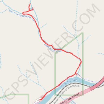
Interactive map
GPS track profile
About this GPS track
Name: Hanging Lake GPS track, route, trail
End: Auto, Hanging Lake Trail, Garfield County, Colorado, United States (39.58921 -107.19039)
Coordinates: 39.58921 -107.19331 39.60202 -107.18316
Topography: Garfield County topographic map