Horsetail Falls
Interactive map
GPS track profile
About this GPS track
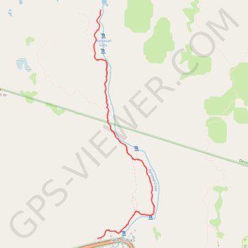
Name: Horsetail Falls GPS track, route, trail
Coordinates: 38.81165 -120.12448 38.83229 -120.11754
Topography: El Dorado County topographic map
Other GPS tracks
Click on a GPS track to view route, its statistics and profile.
Chester - Walker
États-Unis d'Amérique > Californie > Plumas County > Chester
Vélo. En aller simple entre Chester et Walker. #Vélo
Distance: 238.5 mi • Elevation gain: 19,974 ft • Maximum elevation: 8,337 ft