Massacre Falls
Interactive map
GPS track profile
About this GPS track
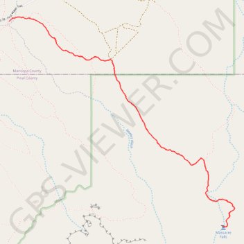
Name: Massacre Falls GPS track, route, trail
Start: Forest Road 78 - First Water Trail, Maricopa County, Arizona, United States (33.47122 -111.46943)
End: Jacobs Crosscut Trail, Maricopa County, Arizona, United States (33.47122 -111.46943)
Coordinates: 33.45047 -111.46943 33.47166 -111.44217
Topography: Maricopa County topographic map
Other GPS tracks
Click on a GPS track to view route, its statistics and profile.