Double Arch
Interactive map
GPS track profile
About this GPS track
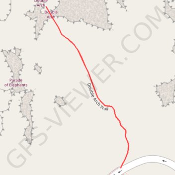
Name: Double Arch GPS track, route, trail
Start: Windows Road, Grand County, Utah, United States (38.68828 -109.53838)
End: Windows Road, Grand County, Utah, United States (38.68828 -109.53838)
Coordinates: 38.68828 -109.54041 38.69171 -109.53817
Topography: Grand County topographic map