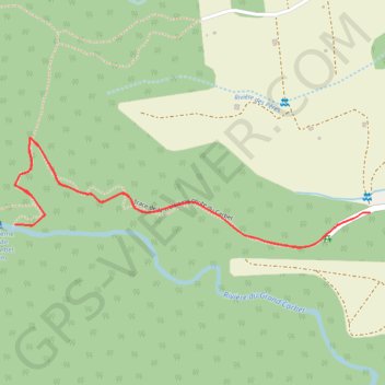
La 3ème chute du Carbet
🌍 Ouvrir dans Google Maps :
https://www.google.com/maps/d/embed?mid=1VJ6s4u13Cn0OaTEAOgdmNOh9tNxCCnno
🌍 Ouvrir dans Google Earth :
https://earth.google.com/web/data=MikKJwolCiExVko2czR1MTNDbjBPYVRFQU9nZG1OT2g5dE54Q0Nubm8gAg
- Distance: 2.3 mi
- Elevation gain: 561 ft
- Maximum elevation: 1,440 ft
- Elevation loss: 561 ft
- Minimum elevation: 1,096 ft
Interactive map
GPS track profile
About this GPS track
Name: La 3ème chute du Carbet GPS track, route, trail
Coordinates: 16.04476 -61.62581 16.04818 -61.61432
Other GPS tracks
Click on a GPS track to view route, its statistics and profile.
Troisieme Chute du Carbet
France > Guadeloupe > Capesterre-Belle-Eau > Routhiers
Distance: 1.1 mi • Elevation gain: 374 ft • Maximum elevation: 1,437 ft