Import a GPX file

Tour of High Plains

Rocky Valley Storage. Alpine Natural Park. #MTB #Loop #Alpine

  • Distance: 35.8 mi
  • Elevation gain: 3,514 ft
  • Maximum elevation: 5,804 ft
  • Elevation loss: 3,491 ft
  • Minimum elevation: 5,023 ft

Interactive map

GPS track profile

About this GPS track
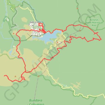
Other GPS tracks

Click on a GPS track to view route, its statistics and profile.

Mount Hotham - Mount Bogong

Australia > Victoria > Mount Hotham Alpine Resort > Hotham Village

Alpine National Park. #Hike #Alpine

Distance: 38.8 mi • Elevation gain: 7,251 ft • Maximum elevation: 6,509 ft

Falls Creek - Aqueduct Trail - Wishing Well - Flowtown - Packhorse Trail

Australia > Victoria > Falls Creek Alpine Resort > Falls Creek

#MTB #Loop

Distance: 10.6 mi • Elevation gain: 2,014 ft • Maximum elevation: 5,289 ft

Falls Creek Loop

Australia > Victoria

Alpine National Park. #Hike #Loop #Alpine

Distance: 27.2 mi • Elevation gain: 6,545 ft • Maximum elevation: 6,030 ft