Goomburra - Mount Marshall - Pratten
Interactive map
GPS track profile
About this GPS track
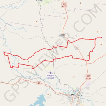
Name: Goomburra - Mount Marshall - Pratten GPS track, route, trail
Start: Inverramsay Road, Goomburra, Southern Downs Regional, Queensland, Australia (-28.04262 152.11982)
End: Inverramsay Road, Goomburra, Southern Downs Regional, Queensland, Australia (-28.04268 152.11985)
Coordinates: -28.13615 151.78390 -28.04262 152.11985
Other GPS tracks
Click on a GPS track to view route, its statistics and profile.
Warwick - Gatton
Australia > Queensland > Warwick
#Bike
Distance: 77.8 mi • Elevation gain: 2,664 ft • Maximum elevation: 1,909 ft