Cape Liptrap Coastal Park - Wilsons Promontory National Park
Interactive map
GPS track profile
About this GPS track
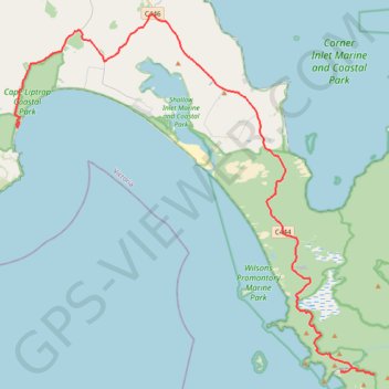
Name: Cape Liptrap Coastal Park - Wilsons Promontory National Park GPS track, route, trail
Coordinates: -39.03275 145.99756 -38.75368 146.35581
Other GPS tracks
Click on a GPS track to view route, its statistics and profile.
Wilsons Promontory Circuit
Australia > Victoria > Tidal River
Wilsons Promontory Marine National Park. #Hike #Loop #WilsonsPromontory
Distance: 45.1 mi • Elevation gain: 10,627 ft • Maximum elevation: 1,768 ft
Wilsons Promontory - Yarram
Australia > Victoria > Yanakie
#Bike
Distance: 44.4 mi • Elevation gain: 1,181 ft • Maximum elevation: 217 ft