Attadale - Woodman Point
Interactive map
GPS track profile
About this GPS track
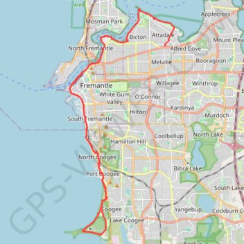
Name: Attadale - Woodman Point GPS track, route, trail
Start: Redcourt Road, Attadale, City Of Melville, Western Australia, 6156, Australia (-32.03172 115.80416)
Coordinates: -32.13641 115.74141 -32.01130 115.80957
Other GPS tracks
Click on a GPS track to view route, its statistics and profile.
MAnning Park
Distance: 7.4 mi • Elevation gain: 594 ft • Maximum elevation: 151 ft