Jindabyne Loop
Interactive map
GPS track profile
About this GPS track
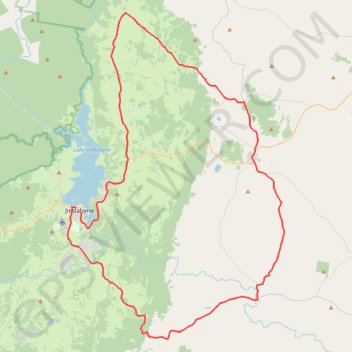
Name: Jindabyne Loop GPS track, route, trail
Coordinates: -36.54217 148.60577 -36.22616 148.86688
Other GPS tracks
Click on a GPS track to view route, its statistics and profile.
Cloudride24.FINAL
Distance: 639.3 mi • Elevation gain: 69,823 ft • Maximum elevation: 5,755 ft