Dandenong Ranges National Park
Interactive map
GPS track profile
About this GPS track
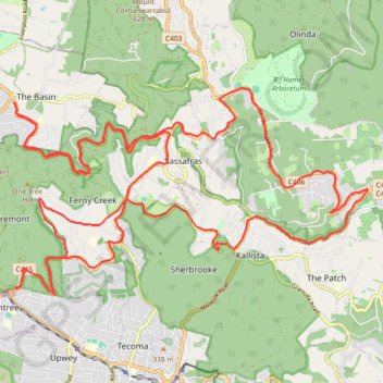
Name: Dandenong Ranges National Park GPS track, route, trail
Coordinates: -37.89340 145.31616 -37.85412 145.40142
Other GPS tracks
Click on a GPS track to view route, its statistics and profile.
Sherbrooke, Sassafras Creek, Alfred Nicholas
Australia > Victoria > Melbourne
Distance: 6.2 mi • Elevation gain: 1,184 ft • Maximum elevation: 1,736 ft
Belgrave > Grants > George Tindale > Sherbrooke Falls > Belgrave
Australia > Victoria > Melbourne
Distance: 7.2 mi • Elevation gain: 1,171 ft • Maximum elevation: 1,637 ft