Import a GPX file

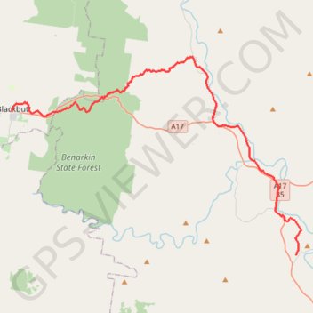
Blackbutt - Brisbane Valley Rail Trail - Toogoolawah

#Bike #Brisbane

  • Distance: 30.1 mi
  • Elevation gain: 1,115 ft
  • Maximum elevation: 1,516 ft
  • Elevation loss: 2,211 ft
  • Minimum elevation: 315 ft

Interactive map

GPS track profile

About this GPS track

Other GPS tracks

Click on a GPS track to view route, its statistics and profile.

7 Mile Diggings - Nanango

Australia > Queensland > Yarraman

#MTB #Loop

Distance: 51.4 mi • Elevation gain: 3,986 ft • Maximum elevation: 1,847 ft

Blackbutt - Linville

Australia > Queensland > Blackbutt

Benarkin State Forest. #Hike #Bike #Benarkin

Distance: 14.1 mi • Elevation gain: 492 ft • Maximum elevation: 1,516 ft

Linville Benarkin via Sandy Creek

Australia > Queensland > Linville

Benarkin State Forest. #MTB #Loop #Benarkin

Distance: 30.9 mi • Elevation gain: 2,631 ft • Maximum elevation: 1,591 ft